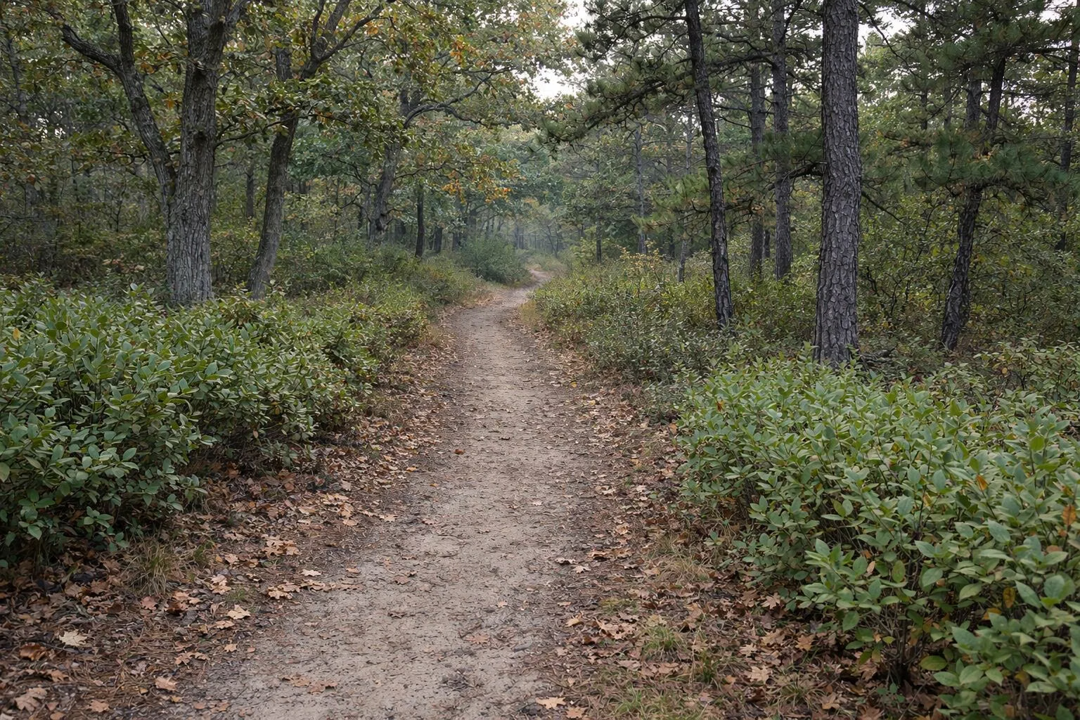
Hiking at Cheesequake State Park
Cheesequake State Park has five marked loop trails and about nine miles of trail in all. Four are for hiking only and start together at the Trailhead Parking Lot, just past the entrance on the left: the Green Trail (3.2 miles), Blue Trail (2.9 miles), Red Trail (1.3 miles) and Yellow Trail (1.1 miles). The White Trail (1.7 miles) is the only trail open to mountain bikes and starts from its own small lot. NJDEP rates the trails as having some hills, steps and uneven ground; there are mile markers every tenth of a mile.
Trails at a Glance
The Five Trails
- Green Trail, 3.2 miles: the longest. Boardwalk, the Nature Center, the park's largest Atlantic white cedar swamp, old white pines and a floodplain viewing platform. See the Green Trail page.
- Blue Trail, 2.9 miles: hardwood forest, a freshwater wetland, a small pine barrens stand, then around the tidal Perrine Pond with its wildlife observation blind.
- Red Trail, 1.3 miles: hardwood forest and pine barrens; turns left at Perrine Road past a wetland, then loops back by the group campground.
- Yellow Trail, 1.1 miles: a short loop through hardwoods and a field of highbush blueberries, touching the salt marsh and Hooks Creek Lake.
- White Trail, 1.7 miles: the multi-use loop for hikers and mountain bikers, with large hills, exposed roots and log obstacles but no steps.
Where the Trails Start
The four hiking trails share one trailhead at the Trailhead Parking Lot, just beyond the park entrance on the left. Kiosks there have maps and trail lengths. The trails run together at first and peel off one by one; every one is a loop back to the same lot, so you can follow one color or combine several.
Two more ways in:
- From the lake: the Yellow and Blue Trails have spurs to the Hooks Creek Lake day use area. For the Yellow spur, walk around the lake to the wooden steps; the Blue spur starts just past the crabbing bridge (Hooks Creek Lake).
- White Trail: about a mile further into the park. Pass the main trailhead lot, turn right at the stop sign, and look for a small parking area on the right beyond the open field.
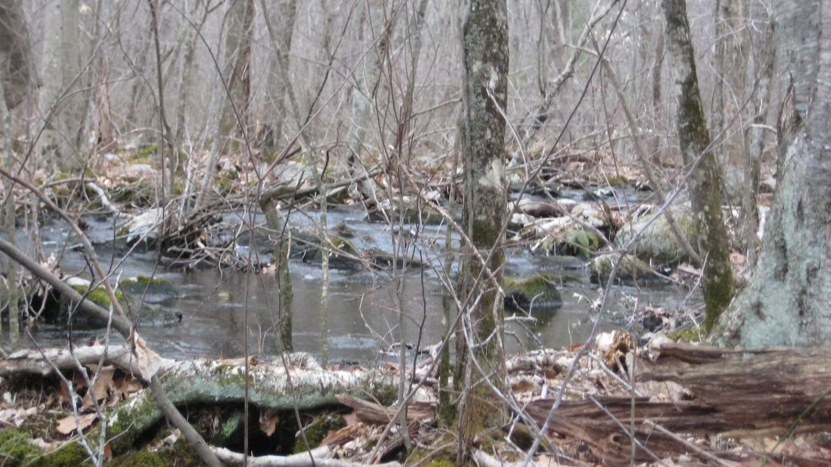
The Blue Trail
The Blue Trail begins in oak-dominated hardwood forest, crosses a freshwater wetland on a small bridge, and then the ground turns sandy under a pitch pine forest, a small piece of pine barrens. NJDEP's tip for telling the pines apart: pitch pines carry three needles in a bundle, white pines five. After crossing Perrine Road it circles Perrine Pond, a tidal saltwater pond; stop at the wildlife observation blind. A spur runs out and back to the crabbing bridge. Past the pond, the trail follows Perrine Road until it joins the Red and Green Trails back to the trailhead.
The Red Trail
The Red Trail shares the path with the Green Trail, then turns left at Perrine Road through a wetland where NJDEP suggests stopping to listen for wildlife (spring peepers call here in spring). Across Museum Road the soil turns sandy under pitch pines, oaks and mountain laurel, the pine barrens plants that are adapted to fire. It skirts the group campground and meets the gravel Museum Road; turn right to get back to the trailhead.
The Yellow Trail
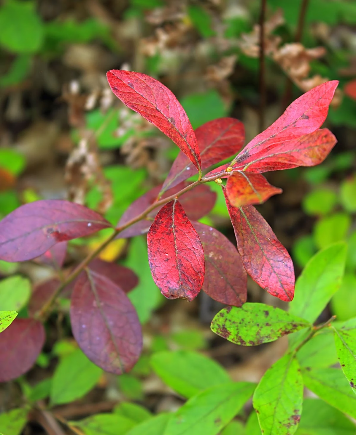
The shortest loop starts with the Green and Red Trails, then splits right through mixed hardwoods and a field of highbush blueberries, where songbirds feed on the fruit. It touches the edge of the salt marsh, with tall common reed and lower salt marsh grasses, and the shore of Hooks Creek Lake, before looping back to the lot.
The White Trail (Mountain Biking)
The White Trail is the only trail where bikes are allowed, shared with hikers, so ride with care. It passes a freshwater swamp ringed by red maples, climbs above a small ravine alongside the Garden State Parkway, and crosses Booth Field, where a butterfly garden draws monarchs from spring to fall. NJDEP describes many challenging sections with large hills and exposed roots. All other trails are hiking only.
How Hard Are the Trails?
NJDEP describes every loop as having some hills and uneven terrain; the four hiking trails also have steps, and the Blue Trail has boardwalks. On the accessibility table of NJDEP's 2026 trail map, the typical grade is 5 to 6 percent and the steepest sections reach 14 to 15 percent. The map notes that conditions may have changed since the trails were assessed in summer 2025.
Trail Sense
- Blazes: colored markers on plastic posts or painted on trees; trail entrances are wooden arches with the trail's name.
- Stay on the trails. Museum Road, Perrine Road, Dock Road and Booth Road can extend a walk.
- Ticks: use repellent, wear light colors, tuck pants into socks and check yourself afterwards.
- No trash cans: carry out what you bring.
- Dogs: on a leash no longer than six feet (Rules & Regulations).
- Report trail problems: 732-566-2161. Emergencies: 911 or 1-877-WARN-DEP (1-877-927-6337).
- Winter: park roads and fields are open for cross-country skiing and snowshoeing.
Download the free NJDEP map before you go: Trail Map.

Hiking at Cheesequake State Park FAQ
How many trails are at Cheesequake State Park?
Five marked loops, about nine miles in all: Green (3.2 miles), Blue (2.9), White (1.7), Red (1.3) and Yellow (1.1), per NJDEP's 2026 trail map.
What is the longest trail at Cheesequake?
The Green Trail, a 3.2-mile loop through the Atlantic white cedar swamp and past the Nature Center.
Can you mountain bike at Cheesequake State Park?
Yes, on the White Trail only, a 1.7-mile loop with big hills, roots and log obstacles, shared with hikers. The other four trails are hiking only.
Are the Cheesequake trails hard?
NJDEP describes them as having some hills, steps and uneven terrain; typical grades are 5 to 6 percent with short pitches of 14 to 15 percent.
Where do you park for the Cheesequake trails?
At the Trailhead Parking Lot, just past the park entrance on the left. The White Trail has its own small lot about a mile further in.